


Middle Kingdoms of India, Part 58
BY: SUN STAFF - 4.5 2021
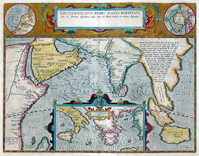
17th Century map depicting the locations of the Periplus of the Erythraean Sea
A serial presentation of India's great history, religious movements and temple architecture.
Kamarupa
'The ancient region of Kamarupa finds no mention in the Ashokan records (3rd Century B.C.).[60m] The first dated mention comes from the Periplus of the Erythraean Sea (1st Century), which describes a people called Sêsatai. The second mention comes from Ptolemy's Geographia (2nd Century), which calls the region Kirrhadia after the Kirata population.[ 60n]
The first mention of the Kamarupa kingdom comes from the 4th Century Allahabad inscription of Samudragupta, which calls the kings of Kamarupa (western Assam) and Davaka (modern Nagaon district) frontier rulers (pratyanta nripati).[60o] The Chinese traveler Xuanzang visited the kingdom in the 7th Century, when it was ruled by Bhaskar Varman.[ 60p]
The corpus of Kamarupa inscriptions left by the rulers of Kamarupa, including Bhaskar Varman, at various places in Assam and present-day Bangladesh are important sources of information. Nevertheless, local grants completely eschew the name Kamarupa; instead they use the name Pragjyotisha, with the kings themselves called Pragjyotishadhipati.[ 60q]
According to the 10th Century Kalika Purana and the 7th Century Xuanzang, the western boundary was the historical Karatoya River.[11] The eastern border was the temple of the goddess Tamreshvari (Pūrvāte Kāmarūpasya devī Dikkaravasini, given in Kalika Purana) near present-day Sadiya[60r] in the eastern most corner of Assam, which also agrees with Xuanzang.[ 60s] The people of Kamarupa were aware of Sichuan, which lay two months' journey away from its eastern borders.
The southern boundary was near the border between the Dhaka and Mymensingh districts in modern Bangladesh. Thus Kamarupa spanned the entire Brahmaputra valley and at various times included present-day Bhutan and parts of Bangladesh. This is supported by the various epigraphic records found scattered over these regions. The kingdom appears to have broken up entirely by the 13th Century into smaller kingdoms and from among them rose the Kamata kingdom in the west and the Ahom kingdom in the east, as the main successor kingdoms.
FOOTNOTES:
[60m] Puri 1968, p. 4
[60n] Sircar, D. C., (1990) Chapter 5: Epico-Puranic Myths and Legends, pp 81
[60o] Sharma 1978, p. xv
[60p] Bhushan 2005, p. 21.
[60q] "The name Kamarupa does not appear in local grants where Pragjyotisha alone figures with the local rulers called Pragjyotishadhipati." (Puri 1968, p. 3)
[60r] "...the temple of the goddess Tameshwari (Dikkaravasini) is now located at modern Sadiya about 100 miles to the northeast of Sibsagar" (Sircar 1990, pp. 63–64).
[60s] "To the east of Kamarupa, the description continues, the country was a series of hills and hillocks without any principal city, and it reached the to the southwest Barbarians [of China]" (Watters 1905, p. 186) Therefore, the hills to the east of Kamarupa could not have been the Karbi Hills because they do not reach to the southwest of China.


Most popular viewed in past:


1. Kirtan: Are there rules?
2. An Introduction to Devotee Lifestyle
3. Ahobilam, Holy Place of Lord Narasimha
4. British destroying Indian culture
5. Lanka from Ramayana
6. Homosexuality and Scripture
7. Krishna is form of Guru
8. Is the Hare Krishna Movement a Cult?
9. Shocking Discovery Underneath
10. The Ramayana – A Summary


► Astrology
► Ayurveda and healt
► Biography
► Courses, seminars and study
► Deity worship and samskaras
► Holy places in India
► Philosophy
► Practical application
► Religion - Christianity, Buddhism and Islam
► Sastras, Acharyas and Swamis
► Spiritual science
► Verses, Prayers and Songs

radha.name/digital-books – All vaishnava books
krishna.com – All about Hare Krishna Movement
iskconcentres.com – Worldwide ISKCON
vedabase.com – Online Bhaktivedanta VedaBase
harekrishna.com – Hare Krishna news
tovp.org – Vedic Planetarium in Mayapur
prabhupada.com – The Bhaktivedanta Archives
stephen-knapp.com – Books by Stephen Knapp
sannyasacandidates.com - Ministry for Sannyasa
amalbhakta.com – Narration from Amala Bhakta
gosai.com - Sri Narasingha Chaitanya Ashram
gopaljiu.org – Kathamrita Bindu magazines
wva-vvrs.org – World Vaishnava Association
salagram.net – Aspects of spiritual development
dharmicscriptures.org – Vedas online
templenet.com – Pilgrimage places in India
sacredsites.com – World sacred sites
dsal.uchicago.edu – The Digital Library of Asia
FOR MORE LINKS GO HERE >>


1. Suhotra Swami versus Kali Baba
2. Vedic Origins Of Civilization
3. Sri Radha Kunda Clean-up Seva
4. Taj Mahal is Lord Shiva Temple
5. No Man has Ever Walked on the Moon!
6. Unbelievable Art - Kalari marma
7. Lost Worlds Kama Sutra
8. Fire Yogi - spiritual science of devotion
9. Temples of Angkor Wat - NEW
10. Jesus in India? Documentary by BBC


